
23.1.11
Calculating an aeroplane's altitude
To be able to use trigonometry to locate an aeroplane's position over Earth, two angles and one side of the triangle would be needed. I already have one angle, which is 90°, and I may be able to calculate another using a sextant. The next step would be estimating the aeroplane's altitude. I have found a few suggestions on how to do this.
Quora
Science-Mathematics
Quora
Science-Mathematics
21.1.11
DIY Sextant
http://www.tecepe.com.br/nav/CDSextantProject.
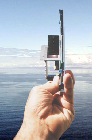
Making my own sextant would possibly mean being able to work out another angle of the triangle, and therefore I would be able to use trigonometry to work out the final angle. Unfortunately, knowing three angles of a triangle does not enable me to work out the three sides, but it is a start.
Making my own sextant would possibly mean being able to work out another angle of the triangle, and therefore I would be able to use trigonometry to work out the final angle. Unfortunately, knowing three angles of a triangle does not enable me to work out the three sides, but it is a start.
Sextant
 A sextant is an instrument used to measure the angle between any two visible objects. Its primary use is to determine the angle between a celestial object and the horizon which is known as the altitude. Making this measurement is known as sighting the object, shooting the object, or taking a sight and it is an essential part of celestial navigation. The angle, and the time when it was measured, can be used to calculate a position line on a nautical or aeronautical chart.
Using trigonometry to calculate position
To be able to use trigonometry to work out an aeroplane's location over Earth would involve more than just knowing that there is a 90° angle involved. A second angle would need to be calculated to use this method.
Also, no measurements for the sides of the triangle are known - the distance from the viewer to the aeroplane, the distance from the aeroplane to the ground and the distance from that place on the ground to the viewer. Again, more information is needed.
Also, no measurements for the sides of the triangle are known - the distance from the viewer to the aeroplane, the distance from the aeroplane to the ground and the distance from that place on the ground to the viewer. Again, more information is needed.
Trigonometry

If one angle of a triangle is 90 degrees and one of the other angles is known, the third is thereby fixed, because the three angles of any triangle add up to 180 degrees. The two acute angles therefore add up to 90 degrees: they are complementary angles. The shape of a right triangle is completely determined, up to similarity, by the angles. This means that once one of the other angles is known, the ratios of the various sides are always the same regardless of the overall size of the triangle.
20.1.11
Altimeter
 A radar altimeter, radio altimeter, low range radio altimeter (LRRA) or simply RA measures altitude above the terrain presently beneath an aircraft or spacecraft. This type of altimeter provides the distance between the plane and the ground directly below it, as opposed to a barometric altimeter which provides the distance above a pre-determined datum, usually sea level.
Radar altimeters are frequently used by commercial aircraft for approach and landing, especially in low-visibility conditions and also automatic landings, allowing the autopilot to know when to begin the flare maneuver.
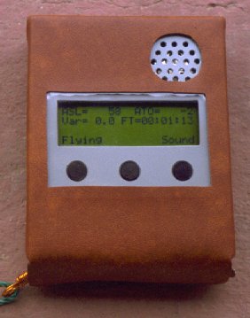
DIY Altimeter


Subscribe to:
Posts (Atom)